Dangerous Weather for the Remainder of the Week.
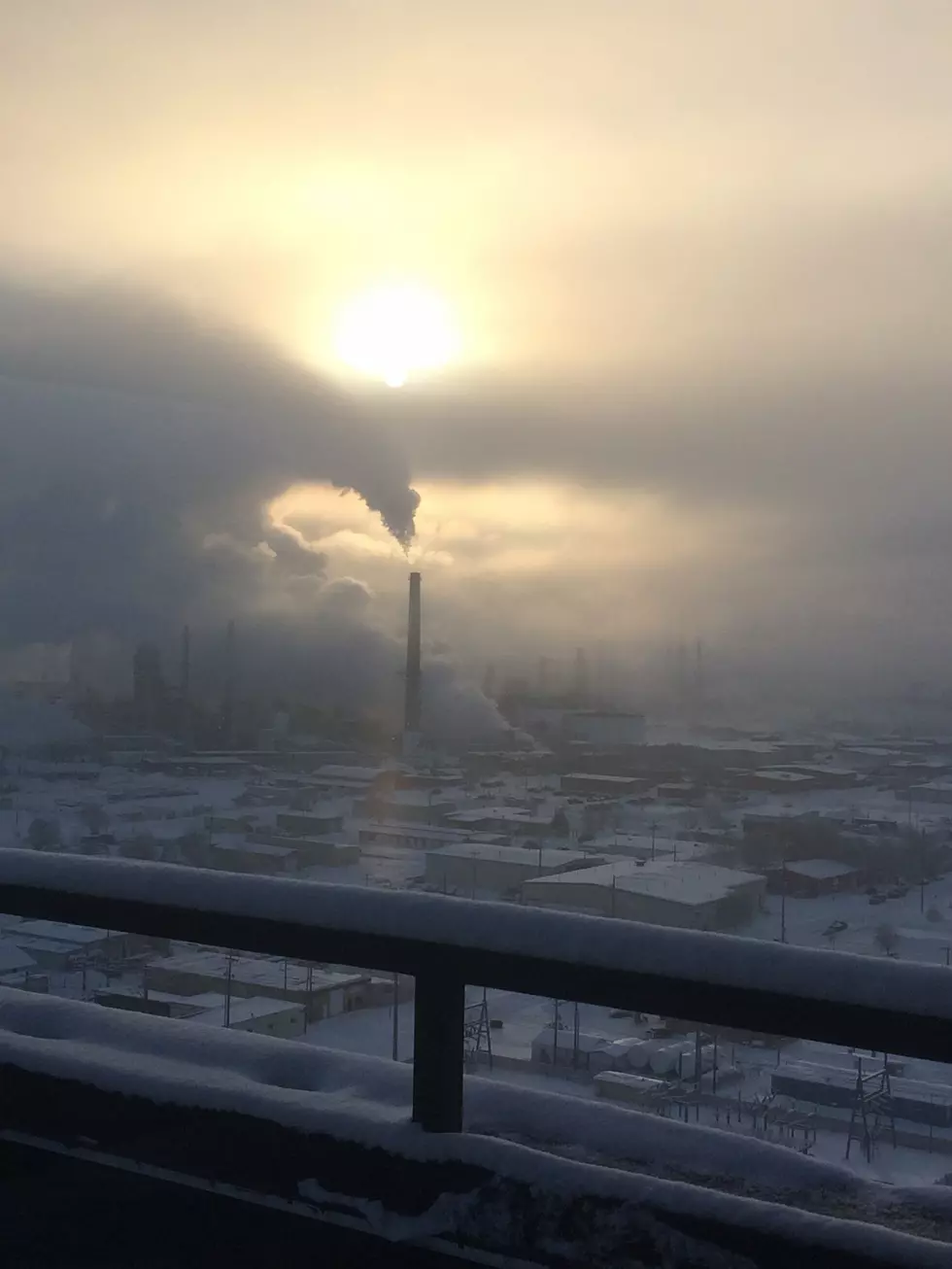
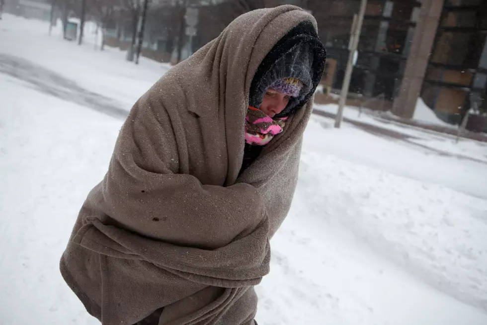
Cold, Bitter Temperature are gripping not only the the North East, but here in Montana as well. Here is the latest from the National Weather Service. We could have wind chill temperatures at -15 tonight.
This Hazardous Weather Outlook is for portions of central
Montana...south central Montana...southeast Montana and north
central Wyoming.

* WHAT...Wintry conditions, including cold temperatures and
  periods of snowfall.

* WHERE...Southern Montana and north central Wyoming.

* WHEN...Through the week into next weekend.

* TUESDAY AND TUESDAY NIGHT...Continued cold with periods of light
  snow possible in the mountains.

* WEDNESDAY AND WEDNESDAY NIGHT...A period of accumulating snow is
  likely over south central Montana. This snow could provide poor
  visibilities and slick roads, but accumulations are expected to
  generally be on the light side. Best chance of accumulating snow
  is mainly north and east of Billings.

* THURSDAY THROUGH SATURDAY...A much more significant snowfall is
  possible across lower elevations. This snow event could cause
  major travel problems with heavy snow and blowing snow. Very cold
  air will also remain in place, for bitterly cold wind chills.
  Exact timing, placement and snowfall amounts are still
  uncertain at this time, so please monitor the forecast.

* ADDITIONAL HAZARD CONCERNS...Travel conditions will remain
  difficult through the week. Wind chills will be well below zero
  at times.

PRECAUTIONARY/PREPAREDNESS ACTIONS...

A Hazardous Weather Outlook is issued when hazardous weather could
impact the region within the next week. Be sure to stay tuned for
future updates as locations, timing, and impacts could change.
Begin preparations to mitigate any impacts that could result from
the hazardous weather.
Be very Careful if you are out driving.
More From 103.7 The Hawk