Where Is The Smoke Coming From? New Mobile App Tracks Western Fires
Why is the air so smoky today? How is the fight against the fire near you going?
In today's world, there is an app for everything.
The Western Fire Chiefs Association launched an interactive mobile app that will help you track fires at the touch of a screen.
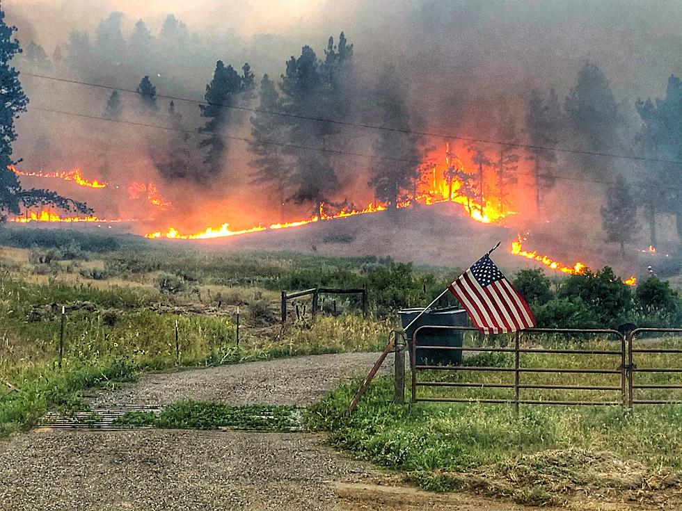
Wildfire on the map is color-coded, with areas in red indicating where it's actively burning. Touch the fire to find out more information.
You can save and use this map on your laptop, tablet, or tower computer by saving the website link.
The map is one one the most user-friendly and clutter-free maps to date, with lots of easy-to-access information.
Kim Zagaris is the wildfire policy and technology advisor for the association. He says they wanted a site that could offer updates almost in real-time. (WPM).
'A lot of people, they want to Google where the nearest fast food or wherever something is, so if you try and Google where the fire is, you don’t get a lot of help out of it,' Zagaris said.
Should a fire come near where you live you'll know how close it is, which way it is currently heading, and when you are being alerted to bugout.
More features are coming next year, including air quality updates and text message notifications.
The WFCA is providing public access to definitive information around the paths of wildfires so that communities can quickly take action. (WPM).
From the fire map website and app:
The Western Fire Chiefs Association (WFCA) Fire Map depicts active and recent wildland fires in the western United States and Alaska. The Fire Map draws near real-time 911 dispatch call data from PulsePoint. Emerging and ongoing wildland fire location and boundary data are provided by the National Interagency Fire Center IRWIN feeds. Fire boundaries are shown in red, orange and brown to represent active burning from the past 12 hours, 12-24 hours, and 24+ hours, respectively. Fire dispatch and location data are approximate and no representation or warranty is given as to the timeliness, accuracy or completeness of the data. The WFCA Fire Map would not be possible without the working partnership between WFCA, PulsePoint Foundation, the US Forest Service, and Mapbox.
Hulett's Rogues Gallery Astounding Western History Collection
Must Read Books From Wyoming Authors
More From 103.7 The Hawk