Temperature Spike Leads to Flood Warning in Western Montana
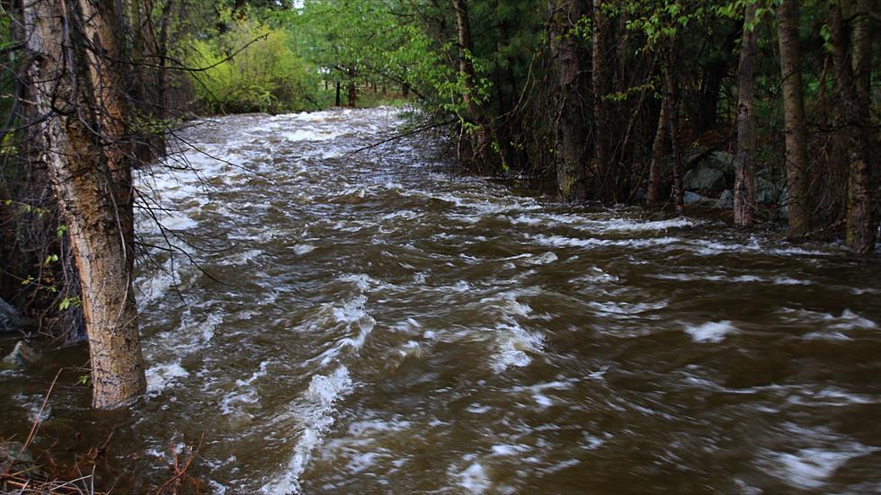
After this weekend's temperature spike, forecasters with the National Weather Service forecast office in Missoula are warning Western Montana residents to be ready for some "minor flooding" as the spring thaw finally gets underway.
But with temperatures taking another sudden drop this week, it looks like conditions will have a chance to moderate and not lead to any dramatic rise in river levels west of the Continental Divide.
NWS reports that Sunday brought the first high-temperature reading of 70 degrees, or above, since October 18th. That was 173 days without being above the 70-degree threshold. By comparison, last year Missoula hit 72 degrees on March 23rd.

And with temperatures expected to peak above 70 again Monday, coupled with incoming rain, forecasters issued a "flood advisory" for all of Western Montana and Central Idaho.
Although the flooding impacts are expected to be "minor" there will be some things to watch out for.
The first snowmelt of the year is expected to quick off a quick rise in rivers and streams. Most of that impact will be seen along the "short run" creeks, which drain water out of locations like the Bitterroot Front and the Mission Mountains, where streams could quickly get to "bank full" conditions.
NWS also expects the snowmelt and rain combination to lead to standing water and "ponding" on some roads and property. That could be made worse by plugged culverts.
Additionally, if you're driving in canyon areas, such as along Lolo Creek, or the Upper Blackfoot Valley, watch for rockfall as thawing conditions could bring down rocks and other debris along highway cuts.
Steady rain is forecast from Monday night through Tuesday, but temperatures will drop by at least 20 degrees, slowing the high country melt.

