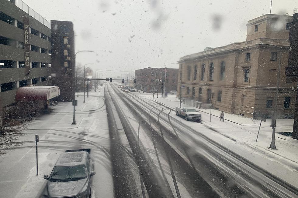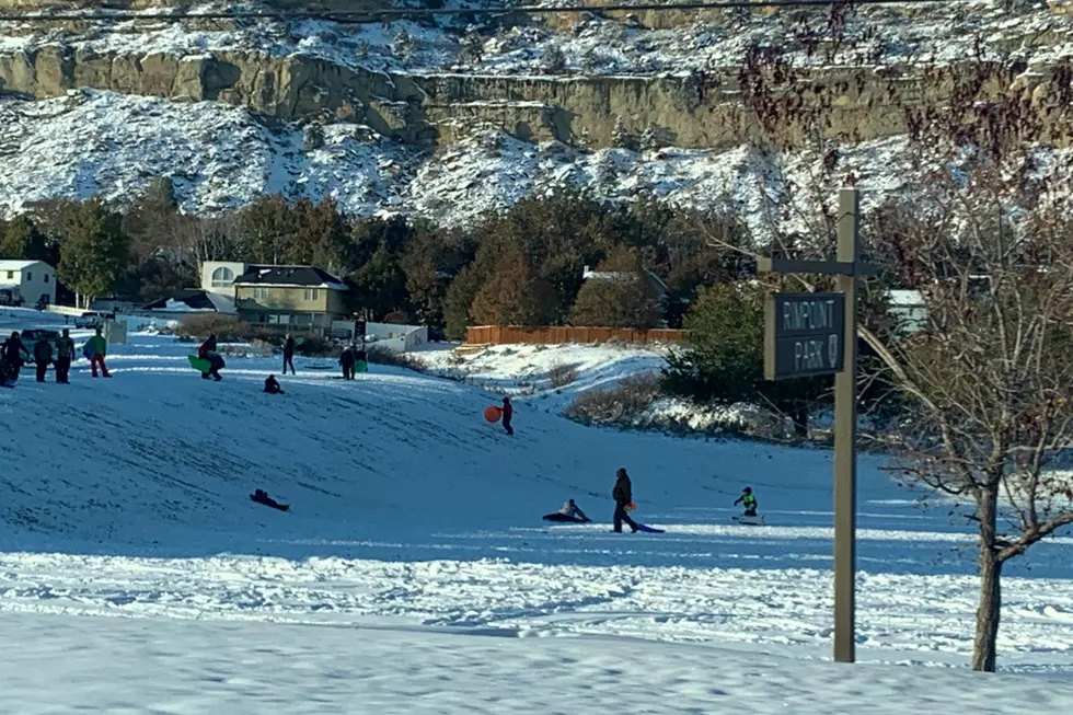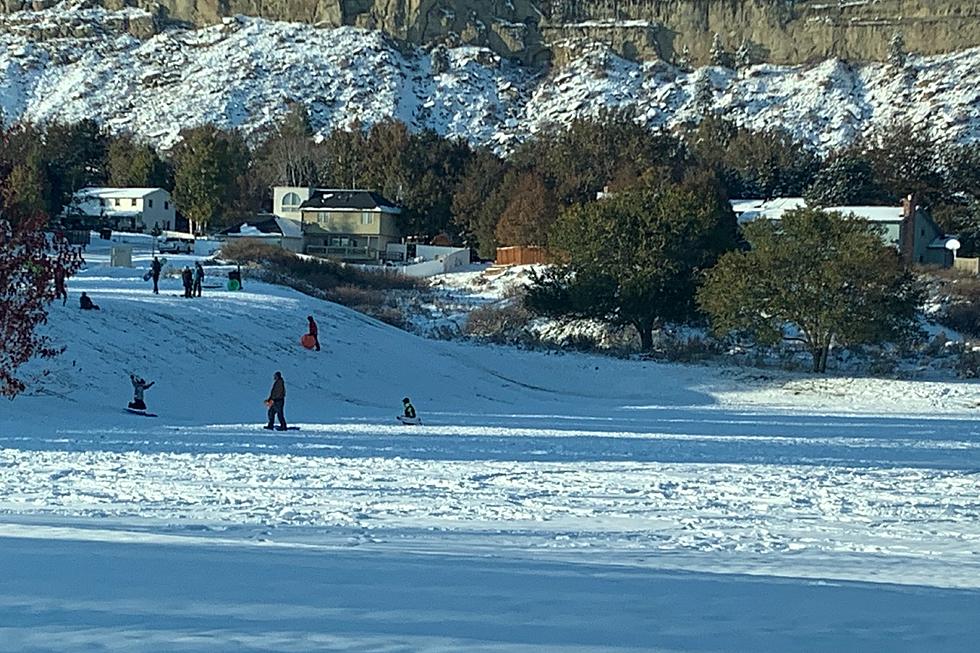
Billings Weather Getting Brutal Cold, 6+ Inches of Snow Possible
Don't get used to the mild temperatures we're expecting to start the Magic City weekend, because by Sunday (2/20) the weather around Yellowstone County will be drastically different.
According to the National Weather Service, we'll be in the upper 40's in Billings today (Friday) with a chance of rain, then we could be close to 60 degrees with mostly sunny skies on Saturday (2/19).
When we get to Sunday the spring-like temperatures will be long gone as a strong storm system will move into the western U.S. and bring bitterly cold temperatures and widespread snowfall through early next week, according to the N.W.S.
Current predictions for Billings from The Weather Channel have snow beginning in the afternoon on Sunday with 1 to 3 inches of accumulation possible. Another 3 to 5 inches could accumulate on Sunday night around Billings, with low temperatures expected to be in the single digits.
Snow will continue into Presidents Day (Monday 2/21) with another inch of accumulation possible and a high temperature remaining steady through the day around 6 degrees.
Flurries are still possible on Monday night with subzero temperatures overnight, and windchills of -20 to -30 degrees possible.
Snow is expected to end by Tuesday morning (2/22), but the deep freeze will continue with a high temperature expected to be -2 and a low on Tuesday night of -22 degrees, according to the current forecast from The Weather Channel.

KEEP READING: Get answers to 51 of the most frequently asked weather questions...
LOOK: Food history from the year you were born
Gallery Credit: Joni Sweet
More From 103.7 The Hawk