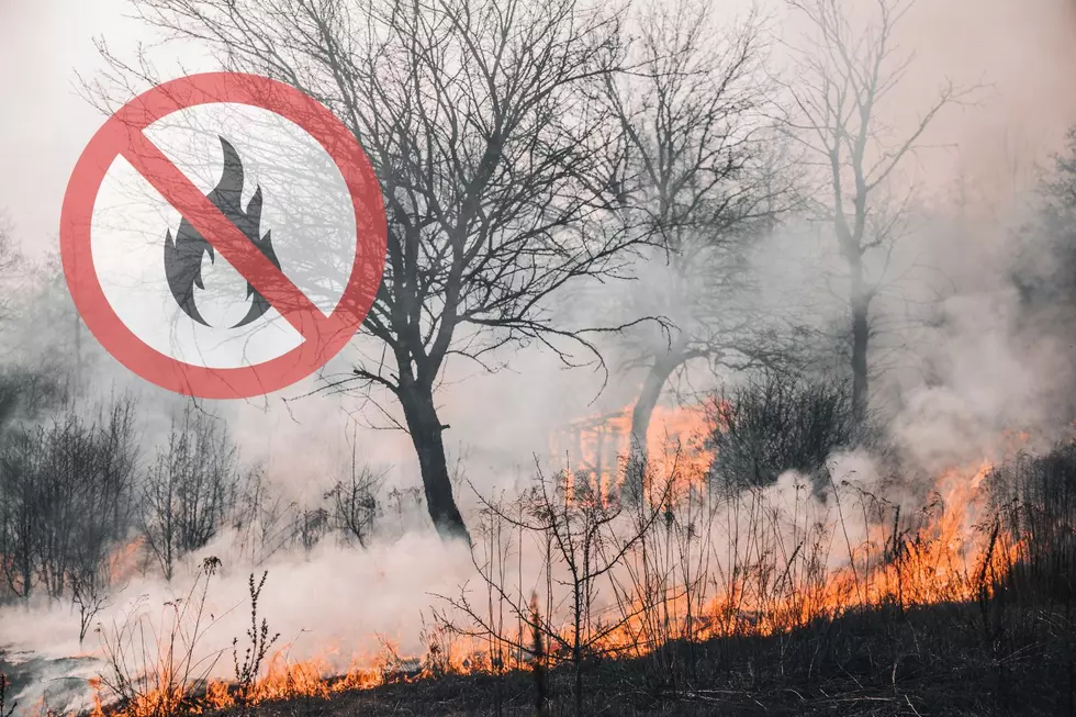
Fire Weather Watch
From the National Weather Service:
FIRE WEATHER WATCH REMAINS IN EFFECT FROM SATURDAY AFTERNOON
THROUGH SUNDAY EVENING...

* IMPACTS: Low humidities, hot temperatures, wind shift with a cold
  front, and dry thunderstorms with gusty and erratic outflow winds
  may create erratic fire behavior and new fire starts.

* AFFECTED AREA:
   In South Central MT...Fire Weather Zones 123...124...125...126...
   127...128 and 129.

* COUNTIES AFFECTED:
   In Central MT...Golden Valley...Musselshell...Wheatland.
   In South Central MT...Big Horn...Carbon...Park...Stillwater
                         Sweet Grass...Yellowstone.
   In Southwest MT...Gallatin.

* TEMPERATURES: 95 to 105.

* HUMIDITY: 5 to 15 percent.

* THUNDERSTORMS: Isolated dry thunderstorms possible Saturday
  afternoon and evening. Thunderstorm activity and the potential
  for strong erratic winds will increase Sunday afternoon and
  evening.

* WINDS: South 10 to 20 mph. Higher gusts near thunderstorms.

PRECAUTIONARY/PREPAREDNESS ACTIONS...

A Fire Weather Watch means that critical fire weather conditions
are forecast to occur. Listen for later forecasts and possible Red
Flag Warnings.More From 103.7 The Hawk