Extreme Heat, Wind Prompts FIRE WATCH for the Billings Area on Sunday 9/4
Idle chit-chat with my coworkers this week frequently revolved around what everybody is doing for Labor Day weekend. The conversation naturally delved into the weather this weekend and how it seems like it's usually cold, wet, and windy on Labor Day. Everyone I know can share stories of getting rained on - or even snowed on - during camping adventures at the unofficial end of summer.
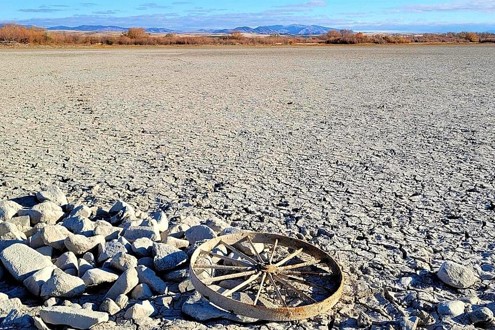
It's been hot. Real hot.
The infographic above, shared by the National Weather Service office in Billings, breaks down the month of August. It's a little tough to read on a mobile device, so I'll transcribe the highlights for you. Livingston, Sheridan, and Miles City all experienced record high temperatures this month. In Billings, August was the 5th hottest on record. We hit 101 on August 1st and 4th and if the forecast for the weekend holds, we could see those temps again.
A Fire Watch was issued for Yellowstone and surrounding counties.
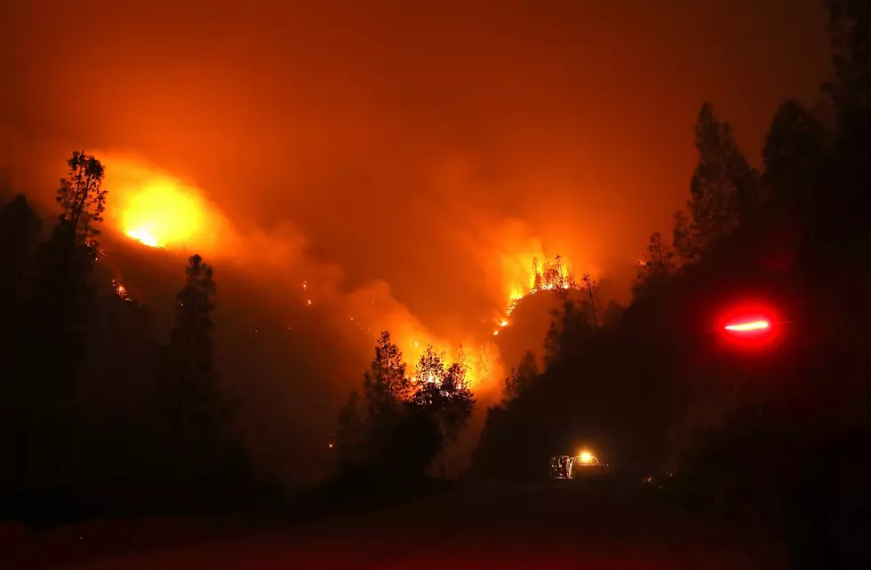
Just after noon on Friday, the NWS issues a Fire Watch statement for the following counties: Yellowstone, Musselshell, Sweet Grass, Wheatland, Stillwater, and Golden Valley. A Fire Watch means that "critical fire weather conditions are forecast to occur." The Fire Watch is in effect starting at Noon on Sunday, Sept. 4th until 9 pm Sunday.
Winds could gust up to 30 mph, causing erratic fire behavior. Humidity levels will drop to just 10% and near record high temperates are expected across the region, between 95 and 102 degrees. A perfect combination for grassland fires or forest fires. If you're enjoying the outdoors this weekend, please be extremely cautious with sparks, hot exhaust on vehicles/ATVs and open flames.
Yellowstone National Park Rebuilds After Historic Flooding
More From 103.7 The Hawk


![Lolo Creek Complex Fire Gains the Help of 9/11 First Responder Firefighter [VIDEO]](http://townsquare.media/site/12/files/2013/08/hqdefault12.jpg?w=980&q=75)


