High Wind Warning in the Billings Area Through Tuesday AM
We're kicking off the week with a double-whammy of weather alerts. Heat and wind will potentially cause issues across southcentral Montana for the remainder of today and tomorrow. On Monday (7/18) the National Weather Service issued a High Wind Warning at 11:13 am, effective until 9 am Tuesday morning.
According to the warning, the following counties can expect strong winds: Yellowstone County, Musselshell County, Carbon County, Big Horn County, and the Sheridan foothills.
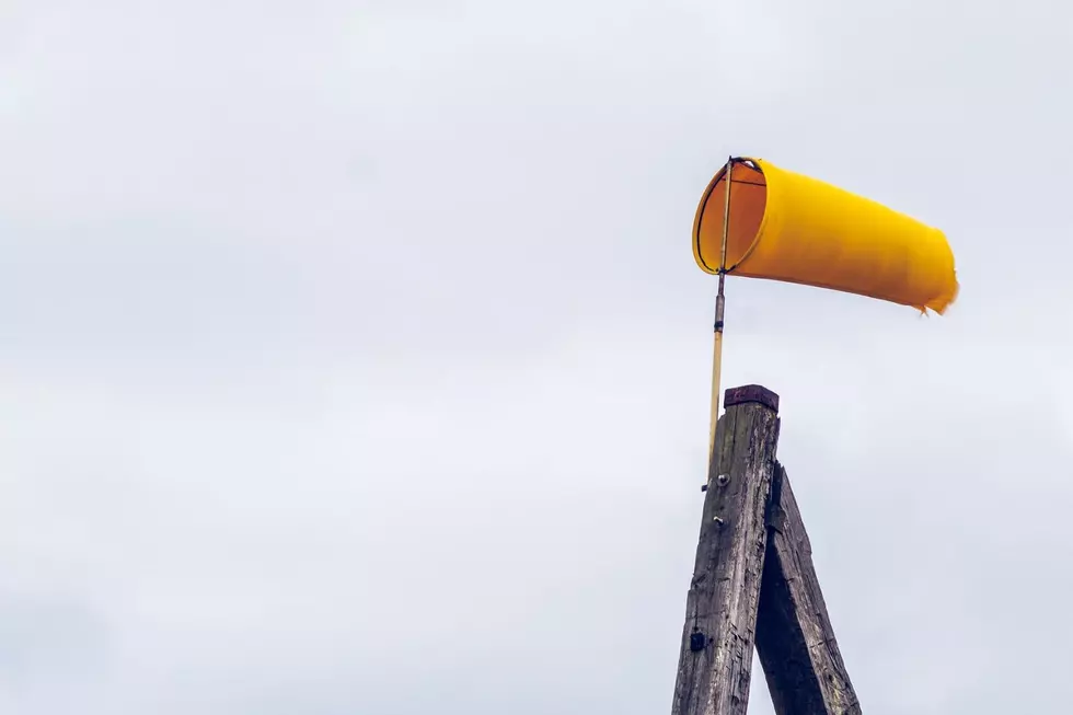
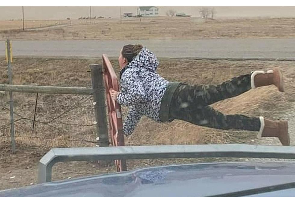
Wind gusts could hit 65 mph.
Northwest winds will increase throughout the afternoon and evening on Monday with 35 - 45 mph steady wind. Gusts are expected to hit 65 mph. The NWS says,
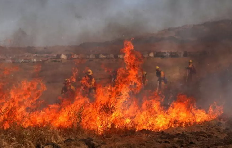
Strong winds could blow down trees and power lines. Power outages are expected. Travel could be difficult with blowing dust and especially for high-profile vehicles.
NOAA's National Severe Storms Laboratory says that damaging winds are classified as those exceeding 50-60 mph. Unsecured items like pool toys, trash cans, and patio furniture can easily be tossed around in the wind.

Heat Advisory until 10 pm Monday.
With daytime high temperatures exceeding 100 degrees in the Billings area this afternoon, we're also under a Heat Advisory until 10 pm Monday night. The NWS says,
Warm and dry conditions could cause rapid fire spread. Use caution with any burning activities. Hot temperatures may cause heat illnesses.
Residents are advised to limit strenuous outdoor activity during the heat of the day, drink plenty of fluids and recognize the symptoms and warning signs of heat exhaustion/heat stroke.
Inside The Crocodile Hunter Lodge at Steve Irwin's Australia Zoo
Gallery Credit: Jacklyn Krol
More From 103.7 The Hawk