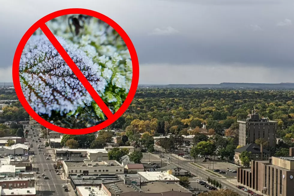
Frost? Ha! We’re in the Bonus Round of Nice Fall Weather in Billings
Bonus Round weather in the Billings area.
It feels like we’re into the bonus round this fall with gorgeous weather. Other than cooler temps today (10/11), we should bounce back to daytime highs in the mid-60s and low 70s for the forecastable future. Weather.com predicts we won’t drop into the 50s until October 25th, which is pretty awesome in my book. Overnight lows will remain in the upper 30s and low 40s.
Data says we should have had a hard frost by now.
According to NOAA data compiled between 1991 and 2020, the average frost in Billings is September 26th. We’re clearly well beyond that date. The Farmer’s Almanac describes three levels of frost:
- Light freeze: 29° to 32°F (-1.7° to 0°C)—tender plants are killed.
- Moderate freeze: 25° to 28°F (-3.9° to -2.2°C)—widely destructive to most vegetation.
- Severe freeze: 24°F (-4.4°C) and colder—heavy damage to most garden plants.

How bad will it be this winter?
Despite predictions of a brutal winter (the Farmer's Almanac says to prepare to “shake, shiver and shovel”), October has turned out to be awesomely mild so far. My tomatoes are still hanging on, which seems like a rarity for mid-October. Are was past-due for a hard freeze? I reached out to Julie Arthur, a meteorologist at the National Weather Service in Billings for some answers. By the way, check out this cool Tweet they shared yesterday from their West End office.
Warm and mild until... when?
There is basically zero chance of a hard frost "in the foreseeable future" in Billings, according to meteorologist Julie Arthur. The normal frost date in Billings is October 4th, per the NWS data. When I asked about the Farmer's Almanac prediction for a nasty winter in Billings, she said they don't put much faith in the publication. However, La Nina will be a driving force for the winter, which generally means cooler and wetter conditions, particularly around December. White Christmas? I bet so.
