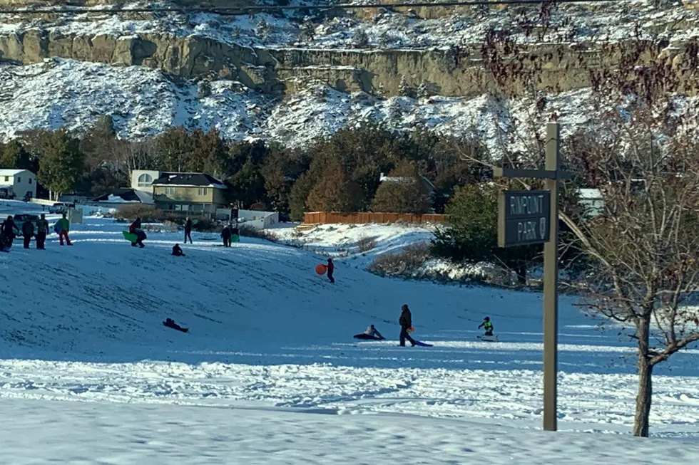
The coldest temperatures of the season, and several days with significant snow is what's predicted for the Billings area over the weekend, according to the National Weather Service.
The National Weather Service is warning residents of south central and southeast Montana to "secure loose outdoor items!" beginning tomorrow night (1/12), with gusts up to 85 miles per hour possible in our area.
When official readings are taken at the Billings Logan International Airport at 5am on Christmas morning, there has to be at least one inch of snow on the ground for it to be considered a "white Christmas."
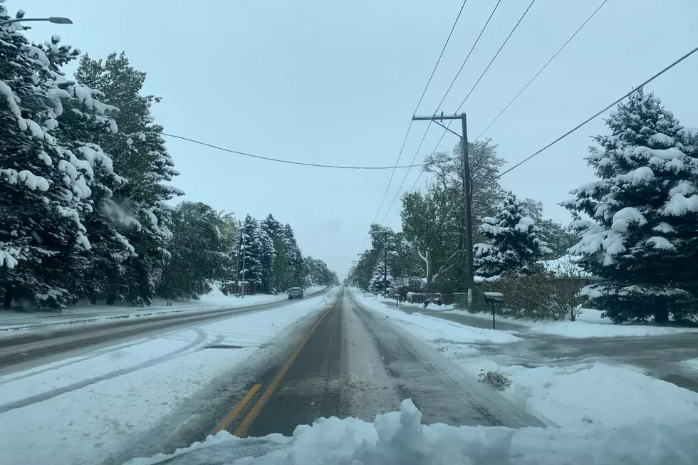
Billings had high temperatures in the mid 60's on Tuesday and Wednesday, but now the warm weather is over, and the return of snow is in the forecast this upcoming weekend.
After several days in the mid-70's, a Montana weather reality check it about to hit late this weekend, with a chance of some accumulating snow in Yellowstone County.
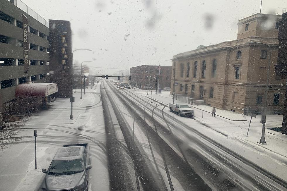
Billings dodged the heavier snowfall on Thursday (10/22), with between two and three inches of accumulation reported in most parts of Yellowstone County as of this morning,
According to the NWS website, temperatures will be in the upper 80's to lower 90's on Thursday, with low humidity (10-18%), and wind gusts up to 40 mph.
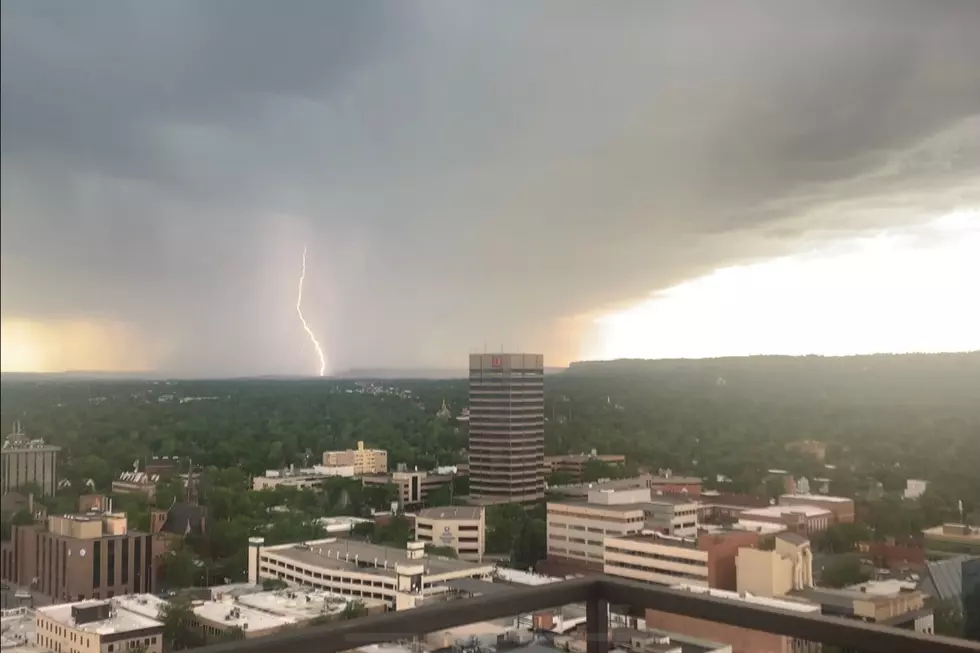
"Isolated Severe Storms" are predicted for Yellowstone County, with some storm cells producing hail that could be hen egg size, according to the National Weather Service.
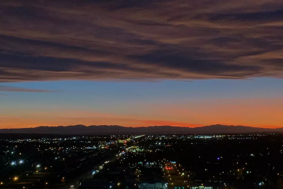
High temperatures, low humidity, windy conditions, and possible thunderstorms are creating "critical fire weather conditions" for Billings and the surrounding area.
Looking out the windows west of Billings from the top floor of the Doubletree Hotel I said to Pence, "It looks like an Iraqi dust storm out there." You could not only hear the wind howling, you could see it.