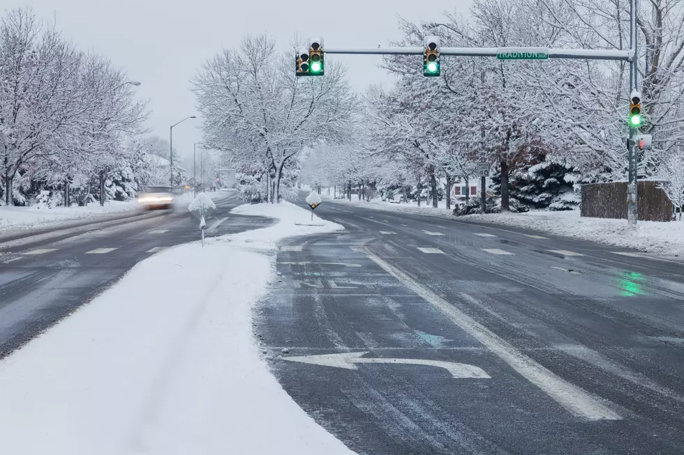
Winter Weather Expected for Billings Area This Weekend
The National Weather Service has issued a Winter Storm Watch for large portions of Montana, effective Thursday afternoon (2/4) through Sunday evening (2/7). The last blast of winter we received around the Billings area was that big snowstorm in October, nearly four moths ago.
Major winter storms have recently rolled through the midwest and east coast, but Montana has largely missed most of the snowmaking fronts so far the season. It's been remarkably warm and dry for weeks. Almost too good to be true.

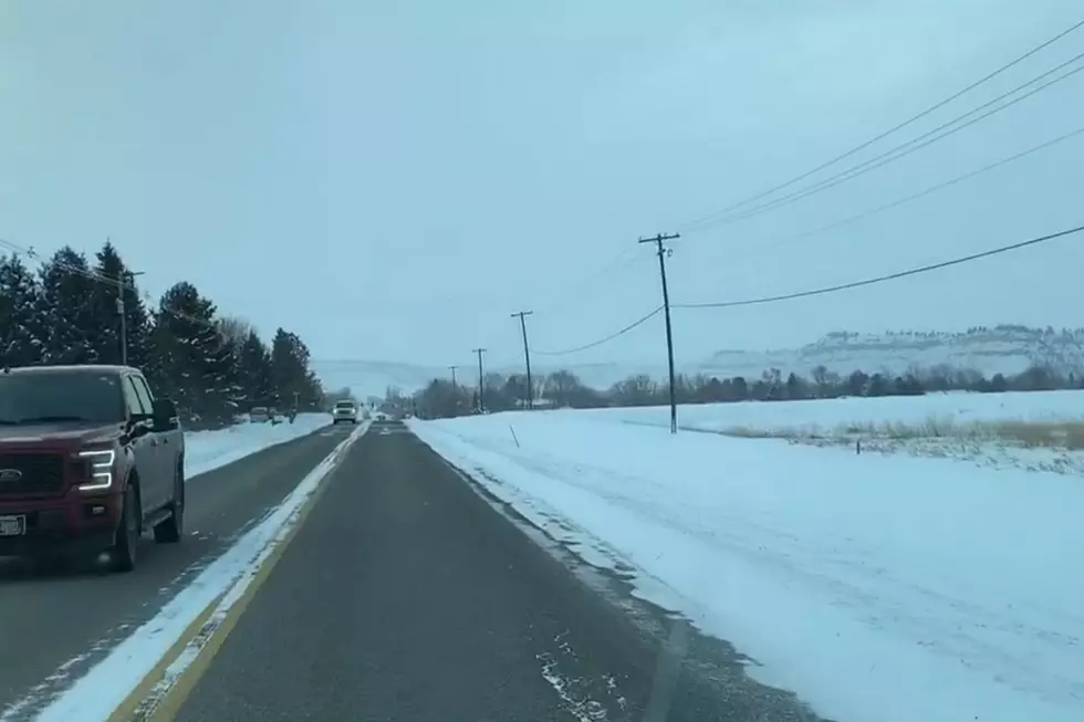
Expect much colder temperatures (a high of 6 on Sunday) with good chances of snow accumulation in much of our area. The Winter Storm Watch includes Yellowstone, Carbon, Stillwater, Big Horn and Custer counties, among others in the surrounding area.
...WINTER STORM WATCH IN EFFECT FROM THURSDAY NIGHT THROUGH
SUNDAY AFTERNOON...

* WHAT...Heavy snow. Total snow accumulations of 5 to 10 inches
  possible, with higher totals near the mountains.

* WHERE...Portions of Central, South Central and Southeast
  Montana.

* WHEN...From Thursday night through Sunday afternoon.

* IMPACTS...Travel could be very difficult. The hazardous
  conditions could impact the morning or evening commute. The cold
  wind chills as low as 25 below zero could cause frostbite on
  exposed skin in as little as 30 minutes.
The NWS Billings Tweeted this reminder on winter driving.
Now might be a good time make sure your vehicles are stocked for winter conditions. Read More: Time to Find Your Winter Car Stuff.
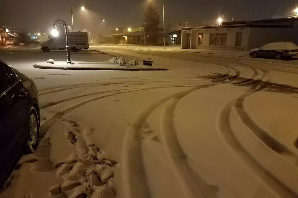
SEE PHOTOS: Billings Wind Event January 2021
More From 103.7 The Hawk