How Much Snow Fell in Billings Over The Weekend?
The National Weather Service has revealed the official snowfall totals from this past weekend, and there's no doubt winter arrived in Billings. All at once.
According to the N.W.S. final snowfall totals for February 5 through February 7, a large portion of Yellowstone County had over a foot of snow accumulate through the weekend.
The weather station in a southwest portion of Billings (3.7 SW) received 13.8 inches of snow accumulation as of 7am this morning (Monday 2/8), and there was 13.7 inches recorded in northwest Billings (2.6 NW) as of 11pm Sunday night (2/7). Shepherd recorded 9 inches of accumulation, according to the National Weather Service, and in Laurel there was 7.5 inches of snow as of Sunday morning.
Park County had the highest recorded snowfall totals from this storm, with some areas of Livingston getting 19 inches of total snow accumulation as of yesterday (Sunday) afternoon.
Here are more snowfall totals from our area, according to the National Weather Service:
- Red Lodge (4 N) 18.0 inches as of 7am Monday (2/8)
- Ft. Smith (0.5 ENE) 11.2 inches as of 7am Sunday (2/7)
- Ryegate (0.3 E) 14.7 inches as of 7am Sunday (2/7)
- Roundup (11.4 N) 12.0 inches as of 5pm Sunday (2/7)
- Absarokee (7 S) 15.5 inches as of 7am Sunday (2/7)
- Columbus (0.9 NW) 13.9 inches as of 7am Monday (2/8)
- Big Timber (0.3 ESE) 16.0 inches as of 7pm Sunday (2/7)
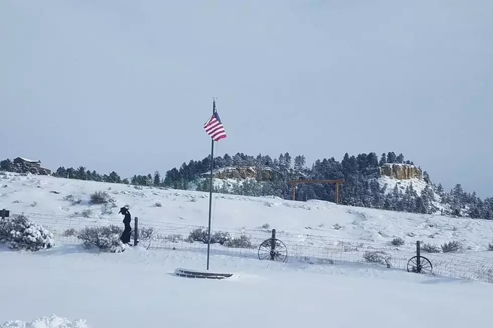
Here are some photos, from around the Billings area, that show how the snow piled up in Montana on the first weekend of February 2021:
February 2021 Snowfall in Montana
More From 103.7 The Hawk

