For Those Who Complained About the Nice Weather in Montana…
For all of you who were complaining about the nice weather we were having here in Montana...here she comes...
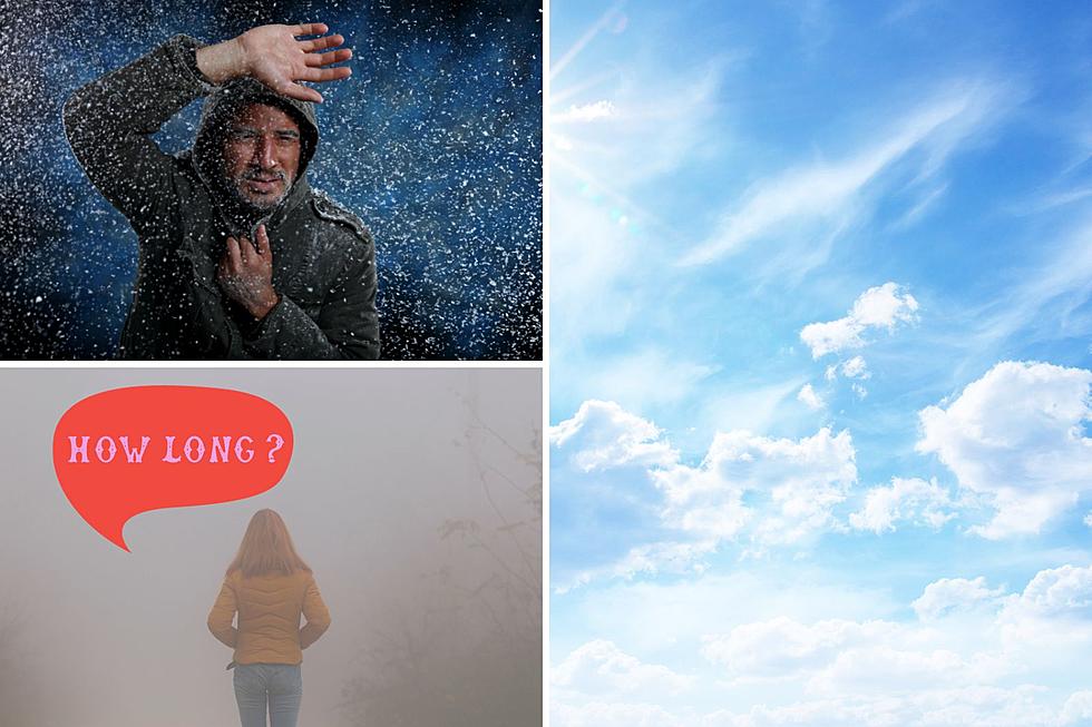
We told you earlier about the sub-zero temperatures heading our direction. Now the question is, how long will the polar vortex (if you wanna call it that) stick around? And, what is finally driving this arctic blast our direction?
I caught up with Tom Humphrey with the National Weather Service in Billings.
What's driving the arctic air our direction later in the week?
Tom Humphrey: The Northwest Territories in Canada right now are 20 to 30 below zero. That air is sitting up there and we just need a trigger to bring it down, and that trigger is going to arrive Wednesday as the front moves through our area.
Why Montana was warmer in December:
Tom Humphrey: Oftentimes you have lower pressure up there around the Hudson Bay. And what is happening now is we've had a ridge that has been centered over the western US for so long, that's why we've been so mild in November and December, that ridge is retrograding and backing up towards the eastern Pacific, and that's allowing that Hudson Bay low, which oftentimes storehouses the cold air, to get unlocked and rotate down towards the United States here down into the Northern Plains and the Northern Rockies and that's exactly what's happening.
How long will it stick around?
Tom Humphrey: With El Nino we still have these blocks of time where we do get cold and we do get snowy. It's not going to be warm and dry the whole winter. We are going to have these blocks of time...This is fairly typical. Even in mild and dry winters, we have these stretches of cold and snowy. So this is fairly typical. The thing that we're seeing is that it looks like the pattern is going to shift so that that ridge is trying to build back in. So I'm not convinced. I mean, a lot of stuff could happen from now until next Saturday. But I'm not convinced this Arctic is going to stick around, this snow pattern is going to stick around for a long time. We might get back into the mild weather when we get into the middle part of next week. But there's a lot of up in the air in that.
Full audio of our chat with NWS Billings is in the 2nd half of the below podcast audio.
LOOK: Biggest snowfalls recorded in Montana history
Gallery Credit: Stacker
More From 103.7 The Hawk