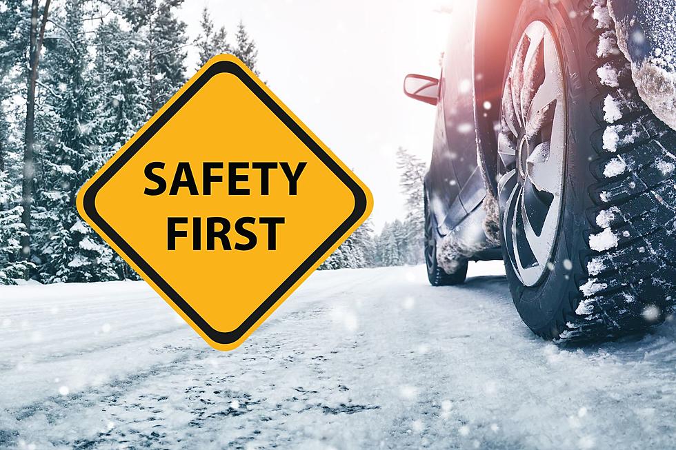
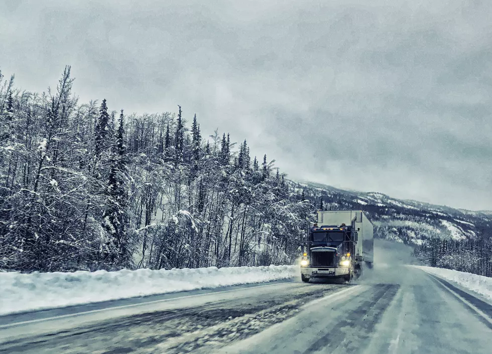
With winter just around the corner, what can we expect as far as winter weather this year in Montana and just how far away is the first significant snowfall?
It's literally the perfect storm for Butte, Bozeman, Billings, Baker, and everywhere in between. Heavy snowfall, dangerous winds, and drastically cold temperatures are expected across most of Montana. Don't be surprised if Emergency Travel Only statements are issued.
Michael had a friend share the coolest craft/ experiment and it's definitely worth giving it a whirl. The kids will love it, and I don't even have children so I did it for myself.
Reddit to the rescue for this winter-clueless Arizona resident who wonders if they will die when they visit Billing this month. Most offered legitimate advice like wearing lots of layers, wool socks, warm hats, etc. Another post grabbed the obvious joke that you probably won't freeze to death in Billings, but you might get shot.


![[Opinion] What's a Blinker? Billings Drivers Forget How To Drive](http://townsquare.media/site/124/files/2022/11/attachment-winter-bad-drivers-jr.jpg?w=980&q=75)