All I can say is, if COSTCO was nearly completely out of these things, I'm assuming you might have trouble finding one of these after that freakish cold snap we just got hit with.
Winter is on it's way and that means Montana will be dealing with snow, ice, and all that winter brings. Where does Montana rank compared to other states?
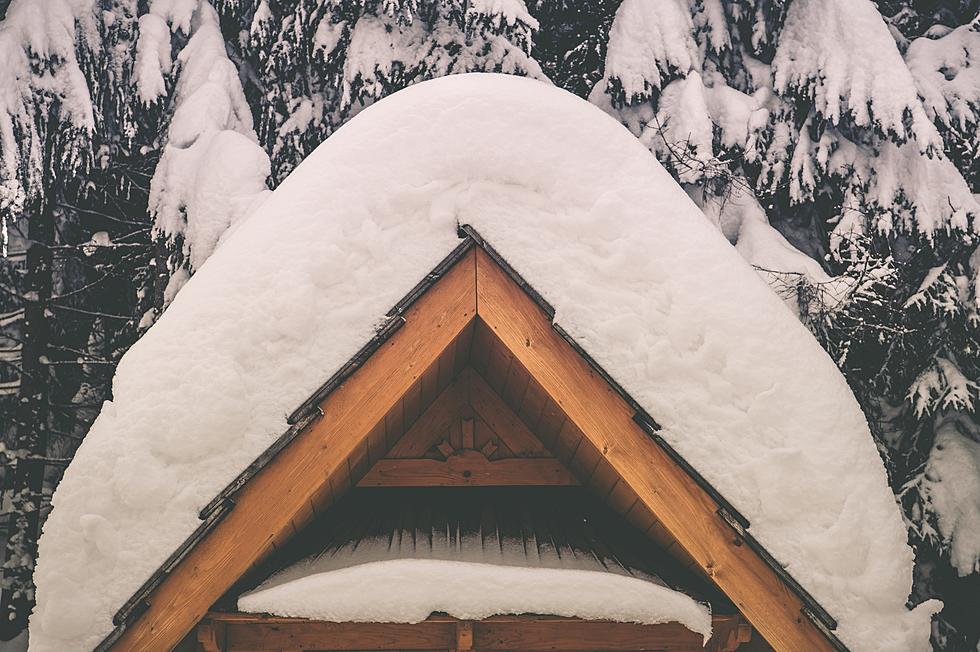
How nice is it to finally feel like we are getting to enjoy some Fall weather here in Montana? Check out this photo from NWS Billings. Plus, if you're hunting in SW Montana...get ready for winter.